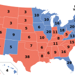
‘Red states’ also red on drought map
Posted on | November 15, 2012 | 1 Comment
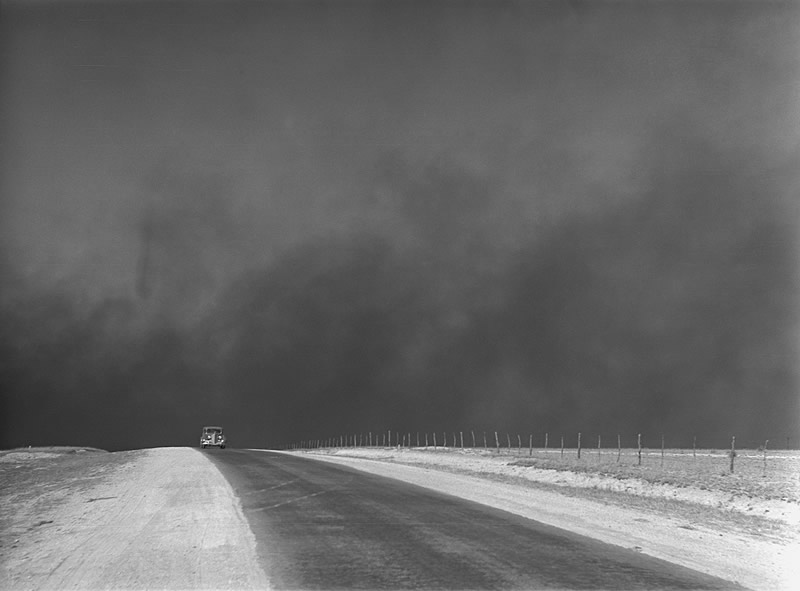
Dust storm in the Texas panhandle, 1936. Photo: Arthur Rothstein via Ken Burns’ “The Dustbowl.” Click on the image to be taken to the site of the new PBS series, which airs this weekend.
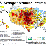
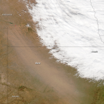
Good science is free of politics. Bad politics are free of science. As “red state” legislators conduct a post-mortem on the 2012 election, the smartest and most diligent of them will be crossing the aisle to work with Democratic caucuses to focus on climate change, which these images illustrate is not merely a “blue state” problem in the Sandy-battered Northeast. A good place to start is today’s dispatch from NASA’s Earth Observatory carrying imagery of a November 10 dust storm blowing across the Kansas-Colorado border. The “storm occurred along the Arkansas River, which flows roughly eastward from the Rocky Mountains toward the Mississippi River,” reported NASA.
The storm struck, continued the report, “in the midst of an exceptional drought, according to the U.S. Drought Monitor. By November 2012, the area along the border between Colorado and Kansas had experienced dry conditions for several months, as did a much larger region. In July 2012, the U.S. Department of Agriculture declared the largest natural disaster area in U.S. history due to drought conditions, and this region was part of the disaster area.”
For a previous NASA post about dust storms emanating from the drought-struck Great Plains, click here. For the latest map from the US Drought Monitor, here. Click on the images below to enlarge them. (This post was updated 11/16 to add the Burns documentary photo.)
Tags: chance of rain > Emily Green > NASA Earth Observatory > US Drought Monitor
Comments
One Response to “‘Red states’ also red on drought map”
Leave a Reply



November 16th, 2012 @ 5:49 pm
WaterWired has this interesting companion posting on a related topic:
http://aquadoc.typepad.com/waterwired/2010/06/do-red-states-manage-water-better-than-blue-states.html
Both postings and the Ken Burns documentary underscore how critical *Critical Zone* research is to US.
http://www.criticalzone.org/